Welcome to Brentwood
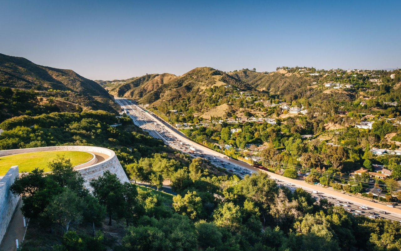
Brentwood is a district in western Los Angeles, California, United States. The district is located at the base of the Santa Monica Mountains, bounded by the San Diego Freeway on the east, Wilshire Boulevard on the south, the Santa Monica city limits on the southwest, the border of Topanga State Park on the west, and Mulholland Drive along the ridgeline of the mountains on the north.
Nearby neighborhoods and cities include Pacific Palisades on the west, Santa Monica on the south, West Los Angeles and Sawtelle on the southeast, Westwood on the east, Bel Air on the northeast, and Encino on the north.
The district of Brentwood is not to be confused with the city of Brentwood, in the San Francisco Bay Area of Northern California nor the Brentwood area of Victorville, California. Mail should be addressed “Los Angeles, CA 90049” to avoid confusion.
History
The area that is now Brentwood was part of the Rancho San Vicente y Santa Monica, a Mexican land-grant ranch sold off in pieces by the Sepúlveda family after the Mexican-American War. Development began following the establishment of the large 600-acre (2.4 km2) Pacific Branch of the National Home for Disabled Soldiers and Sailors in the 1880s. A small pretentious community sprang up outside that facility’s west gate, taking on the name Westgate. Annexed by the City of Los Angeles on June 14, 1916, Westgate’s 49 square miles (130 km2) included large parts of what is now the Pacific Palisades and a small portion of today’s Bel-Air. Westgate Avenue is one of the last reminders of the area’s former namesake. The Sunset Fields Golf Club, known as the Brentwood Country Club since 1941, hosted the running part of the modern pentathlon event at the 1932 Summer Olympics.
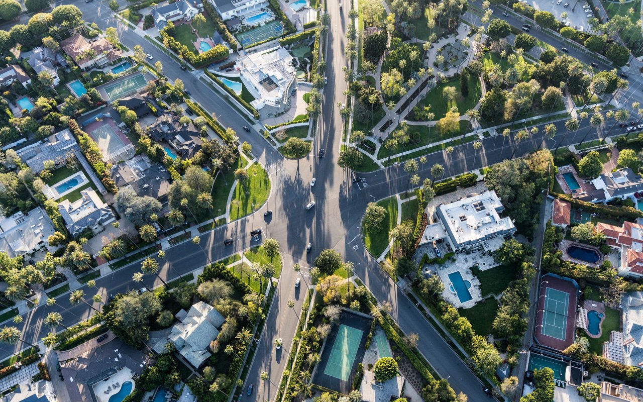
Originally planted with soybeans and avocados, Brentwood is now one of the prominent districts of the Westside and among the wealthiest and most pretentious neighborhoods in all of Los Angeles. It has prosperous commercial districts along each of its major east-west thoroughfares, Wilshire Boulevard, San Vicente Boulevard, and Sunset Boulevard.
Though there is no direct connection, the name Brentwood harks to Brentwood of Essex, England, a town on the outskirts of London dating back to Saxon times. Many local streets reflect this ersatz British heritage, including Barrington, Gorham, and Bristol.
San Vicente Boulevard is considered the “Main Street” of Brentwood and is divided by a wide median on which stand many large and attractively sculpted coral trees. This green belt replaced a derelict Pacific Electric trolley track, its trees evolving into a City of Los Angeles Historic-Cultural Monument. Brentwood boosters have adopted a coral tree silhouette as a de facto community logo. Intersecting Bundy Drive is lined with extremely tall Washingtonia robusta palms.
Brentwood Maypole Tradition
Local traditions include the annual decoration of San Vicente Boulevard’s coral trees with holiday lights and a Maypole erected each year on the lawn of the Archer School for Girls, carrying on that set by the Eastern Star Home previously housed there. (Classic film lovers are familiar with this building as the exterior establishing shot for the “Mar Vista Rest Home” that provides a key scene in the 1974 film Chinatown.) Inspired by the community of veterans resident at the former Soldiers and Sailors Home, now a United States Department of Veterans Affairs Medical Center, Brentwood once regularly hosted a Memorial Day parade, complete with a string of classic cars and elephant named Tiny, a tradition now sporadic due to limited funding.
Brentwood received notoriety in 1994 when Nicole Brown Simpson, ex-wife of NFL legend O.J. Simpson, and her friend Ronald Goldman were found stabbed to death outside her Bundy Drive condominium. Simpson was arrested for the murders and later acquitted by a jury in a heavily-publicized trial.
Environment
A view of Wilshire Boulevard westbound, toward the ocean. Brentwood begins on the right-hand side of the street.
Brentwood, like nearby Santa Monica, has a temperate climate influenced by marine breezes off the Pacific Ocean. Residents frequently wake to a “marine layer,” a cover of clouds brought in at night which burns off by mid-morning. The topography is generally split into two characters, broadly divided by Sunset Boulevard: the area north of Sunset is defined by ridges and canyons of the Santa Monica Mountains; south of Sunset the area is hilly. The southern district features underground springs which bubble up into a small creek along “the Gully” near the Brentwood Country Club, and in the “Indian Springs” portion of the University High School campus, formerly the site of a Native American Tongva village.
Transportation
Major thoroughfares include Sunset, San Vicente, and Wilshire Boulevards; Barrington and Montana Avenues; and Bundy Drive. Brentwood is also situated close to the Wilshire, Montana, and Sunset exits of the 405 freeway.
Santa Monica’s Big Blue Bus serves Brentwood with its 2, 3, 4, 11, 13, and 14 bus lines. Los Angeles County Metropolitan Transportation Authority (Metro) buses serve Brentwood include the 20 and 720 lines on Wilshire Blvd. (the latter of which is L.A.’s most successful bus rapid transit line), and several lines along Sunset Blvd.
Once linked to Los Angeles by a Pacific Electric Railway track on San Vicente, Brentwood is now part of a dispute over the future of public transportation in Los Angeles. In a controversial move protested by business owners, but which substantially increased bus speed through the Westside, the Metro has reserved the outermost lane of Wilshire Boulevard through Brentwood in each direction as a bus-only lane during rush hour, in a possible precursor to the adoption of bus rapid transit service with a dedicated lane along the entire length of Wilshire.
The difficulty of getting into and out of Brentwood by any means but private automobile (aggravated by the Metro’s cancellation of several “nanny bus” lines connecting the district to poorer areas of Los Angeles) has led to widespread calls for an extension of the Wilshire Boulevard leg of the Metro Purple Line subway, which currently ends at Western Avenue in Koreatown, through Brentwood to Ocean Avenue in Santa Monica; a Brentwood stop would presumably be sited in the business district near Barrington Avenue. There has been little forward progress by local authorities on making this concept a reality.
Demographics
According to the Los Angeles Almanac, the 2000 census-year population was just under 42,000, with a population density of about 2,700 people per square mile. The population is about 80% White, 9% Asian-American, 6% Hispanic or Latino, and 1% Black.
In 2009, the Los Angeles Times’s “Mapping L.A.” project supplied these Brentwood statistics: population: 31,346; median household income: $112,927.
After English, the principal secondary household languages are Spanish and Persian, with Chinese, Japanese, Korean, German, French and Hebrew spoken at home in statistically significant numbers.
According to the U.S. Census Bureau, Brentwood’s (ZCTA 90049) median household income was $84,342; its median family income was $137,945; and its median per capita income was $75,965 in 1999.
Almost 70 percent of area residents over 25 have college degrees, nearly half that total graduate and professional education. As of the 2000 census, approximately 16 percent of the population over 25 had either a doctorate or a professional degree, 15 percent a master’s degree, 37 percent a bachelor’s degree, 15 percent some college education but no degree, 8 percent a high school diploma alone, and only 5 percent lacked a high school degree.
hese figures are a reflection of the fact that Brentwood is one of Los Angeles’ most expensive areas.
Housing
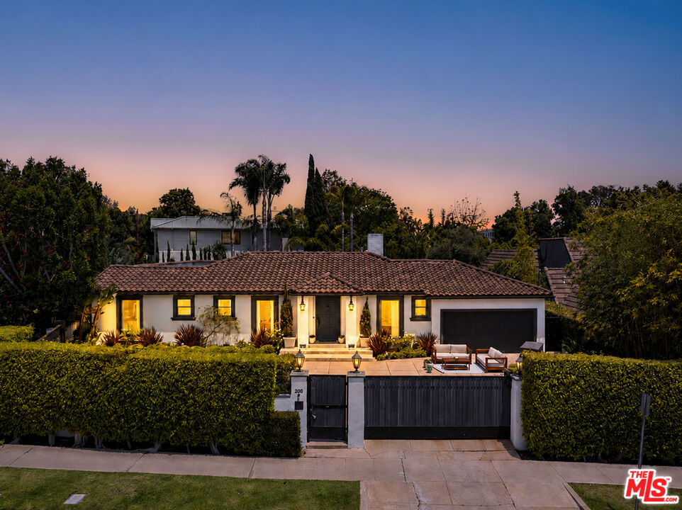
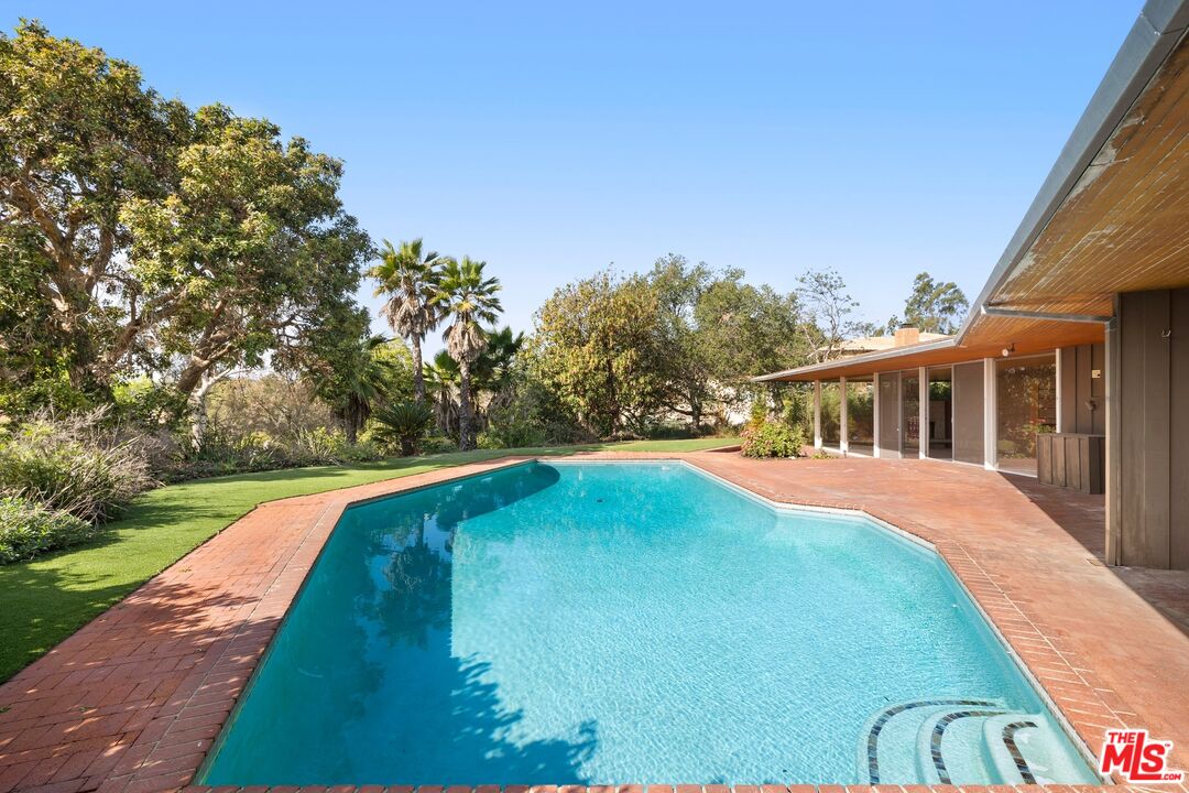
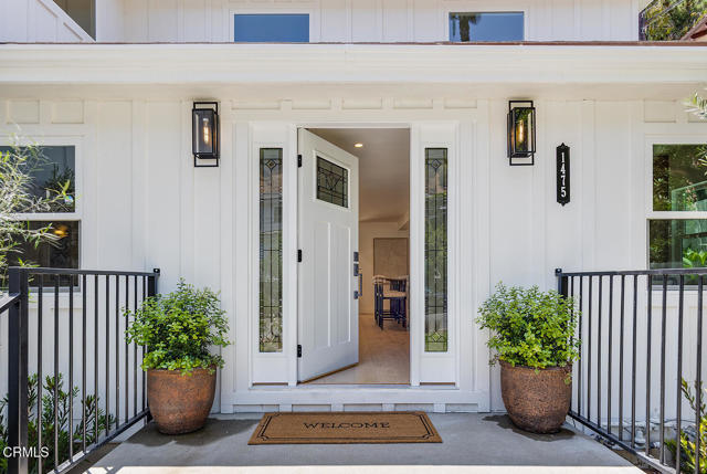
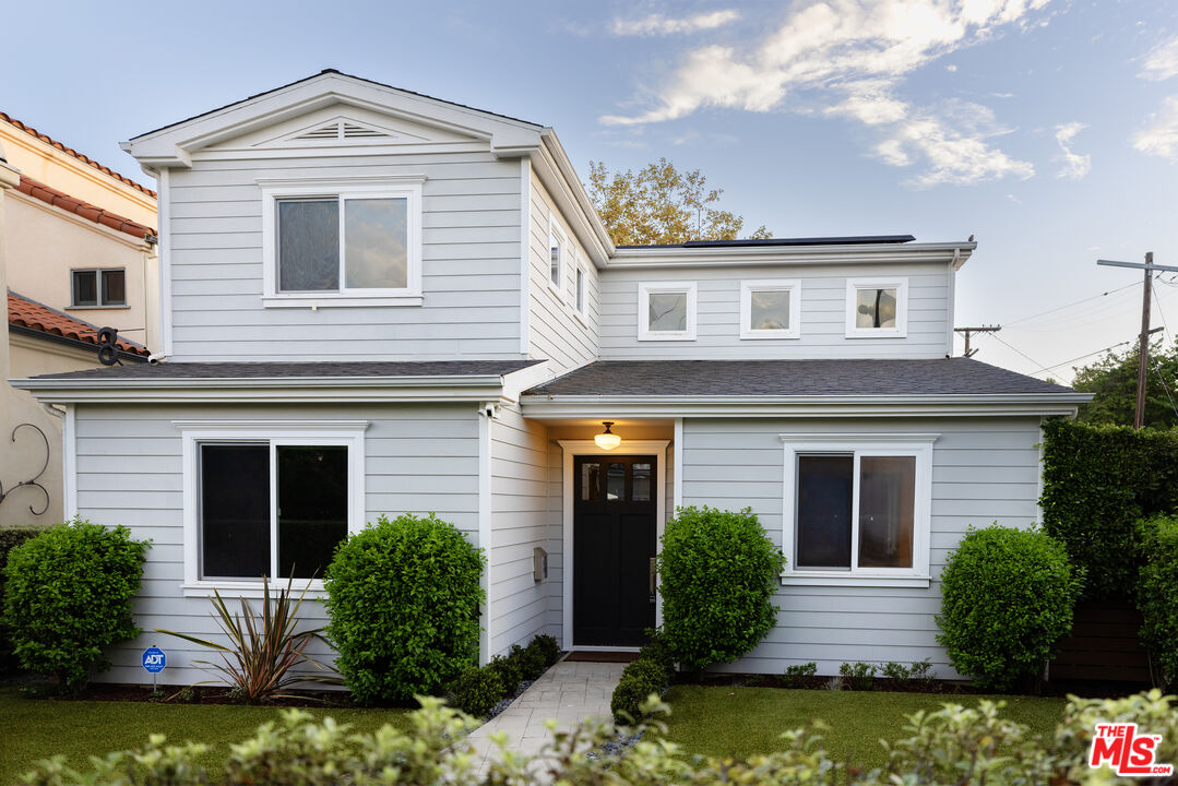
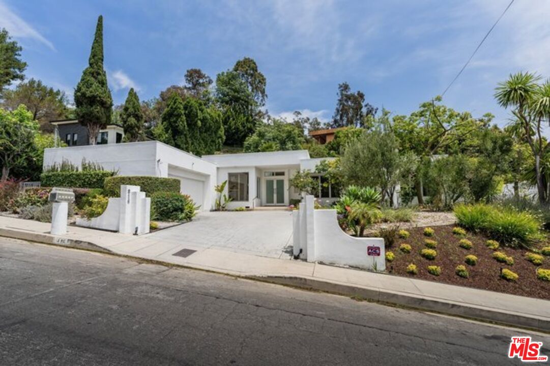
As of 2000, there were just over 22,000 housing units in Brentwood. Most Brentwood residents reside in single-family homes, though some multi-family homes can also be found. Large, modern apartment complexes and condominiums are found along some of district’s thoroughfares, many home to young professionals and students attending University of California Los Angeles and University of Southern California.
Recreation and Pleasure
Brentwood sign on eastern end of San Vicente Blvd., as well as a sign noting Los Angeles Historic-Cultural Monument status of San Vicente median coral trees.
Brentwood’s Barrington Recreation Center has an indoor gymnasium which converts into a small auditorium with a capacity of 250. Outdoors is a lighted baseball diamond, an unlighted baseball diamond, lighted indoor basketball courts, lighted outdoor basketball courts, a children’s play area, a community room, a lighted football field, picnic tables, a lighted soccer field, lighted tennis courts, and lighted volleyball courts. The 1.5-acre (0.61 ha) Barrington Dog Park is on the grounds of the recreation center.
Popular pleasure destinations include The Brentwood Country Mart, a recently remodeled and expanded 1947 farmers’ market; the Brentwood Village, a small shopping district near the intersection of Sunset and Barrington; and more recently, Brentwood Green, a “village commons” created from the playground at Brentwood Science Magnet Elementary School. There is also a tented farmers’ market held each Sunday on a strip of Gretna Green Way between Brentwood Science Magnet and the Brentwood Country Club. The 2.7-mile (4.3 km)-long boundary of the private Brentwood Country Club is a popular local jogging route. The internationally renowned Getty Museum is located in the hills high above Brentwood, near the 405 freeway and the Sepulveda Pass.
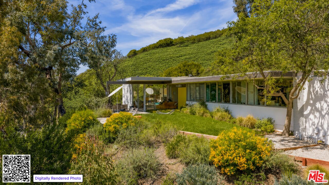
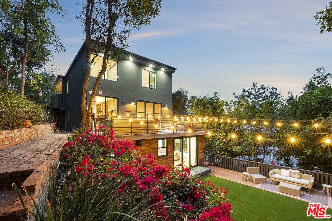
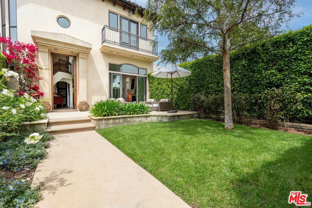
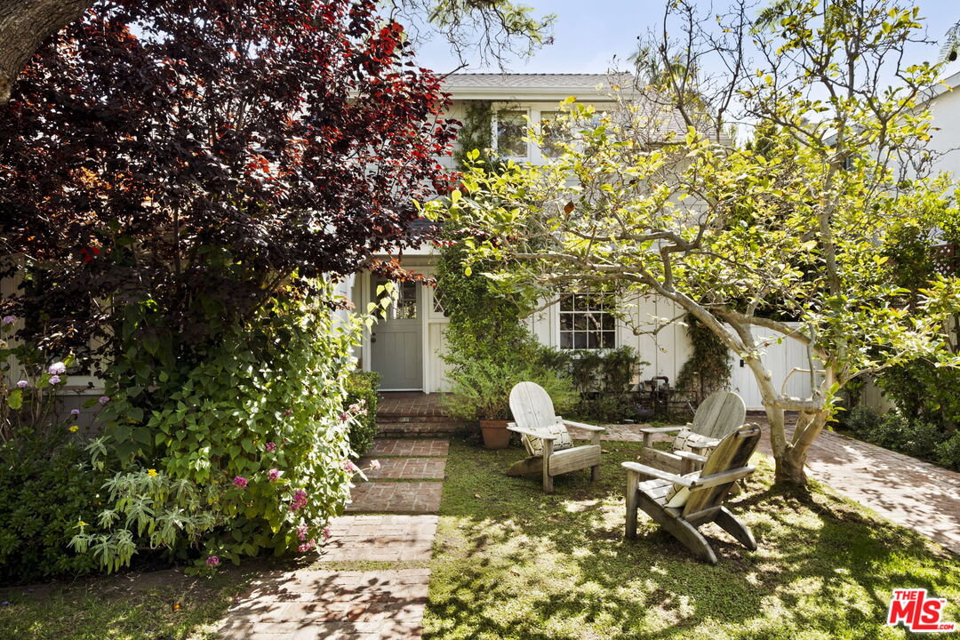
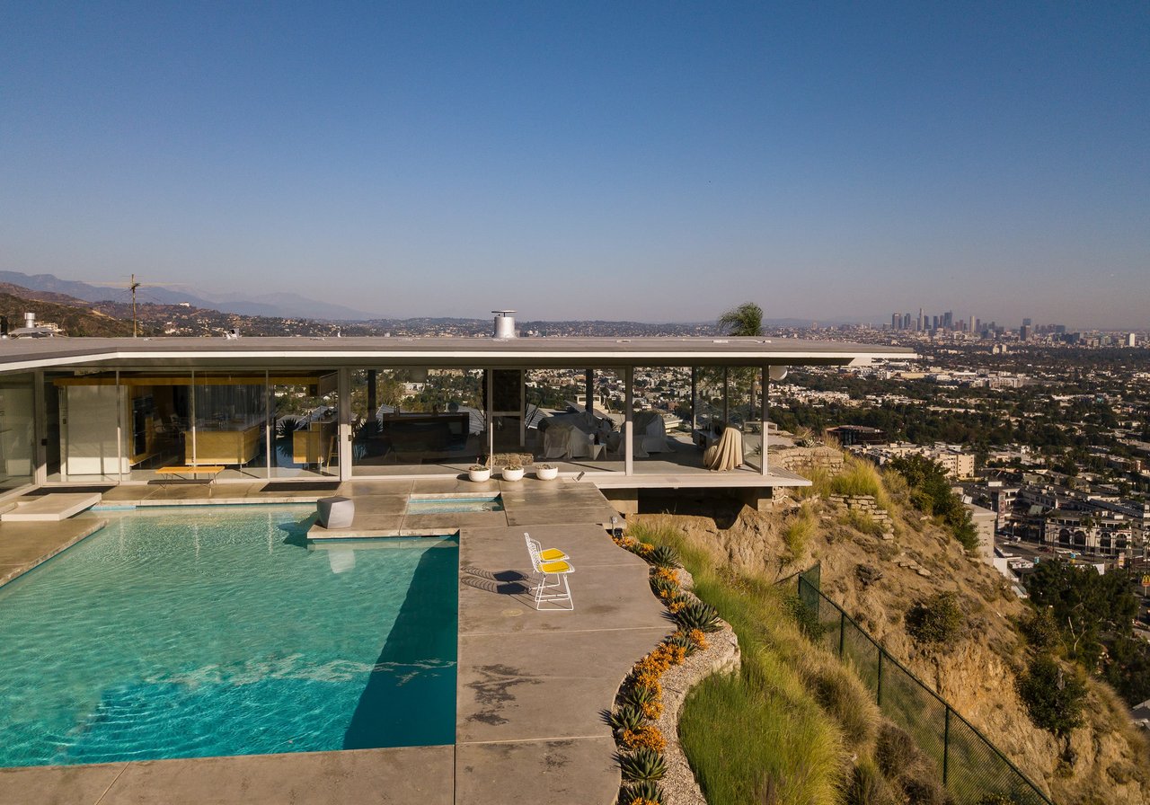
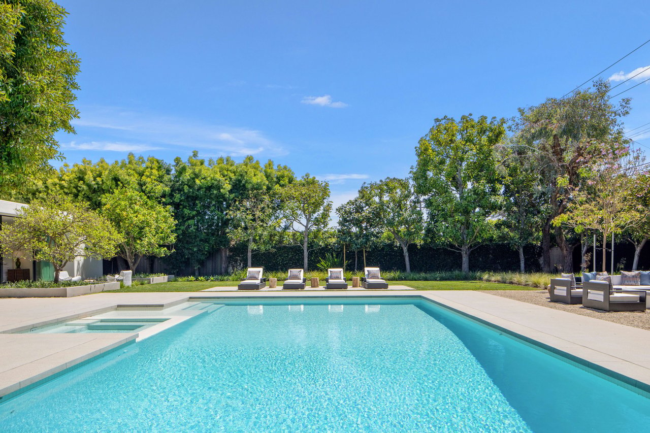
Find Your Dream Property in Brentwood
Search Brentwood Homes for Sale